Google Maps may be one of the most popular navigation apps, but hikers shouldn’t rely on the system in the wilderness.
A hiker in British Columbia faced life-threatening injuries after following a non-existent trail marked on Google Maps earlier this month.
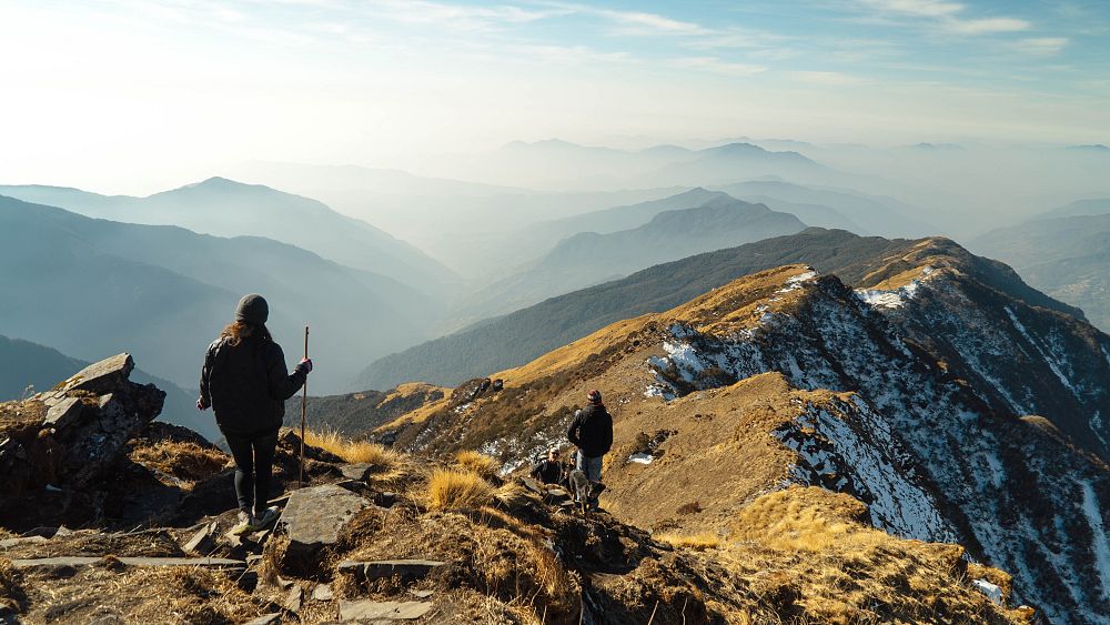
The route took the hikers to a dangerous cliff on Mount Fromme, north of Vancouver, US, where they had to be rescued by helicopter.
“The area in question has no trails and is very steep with lots of rock bands everywhere,” mountain rescue team North Shore Rescue (NSR) wrote in a Facebook post.
“In previous weeks, the NSR had actually placed signs in the area warning of this.”
This is reportedly the third time hikers have followed the ghost path from Kennedy Falls and had to be rescued.
The route has now been deleted from Google Maps, but this isn’t the only incident of incorrect directions putting users in danger.
In North Carolina, a man died last September after driving his car off a collapsed bridge while following the app’s directions.
Euronews has contacted Google for comment on how they monitor false or inaccurate routes. The tech giant is being sued for negligence in the North Carolina accident.
What are the best navigation apps for hikers?
Google Maps might be one of the most popular navigation apps, but hikers should not rely on the system.
“It is simply not appropriate to navigate the wilderness using ‘urban street map’ programs like Google Maps,” NSR said. “Planning the trip other than looking at Google Maps would have shown no tracks [the Mount Fromme] area.”
Similarly, British magazine Great Outdoors warns that Google Maps won’t work in the wild.
“At the very least, the best hiking apps must offer detailed offline topographic mapping,” states one article.
If you’re willing to spend money on an app, the magazine recommends Topo Maps for reliability, speed and excellent planning tools, or Outdooractive with quick planning and community-recommended routes.
If you are standing in the UK, you can use highly detailed, topographic Ordnance Survey maps, available on a paid app, as well as on Topo Maps and Outdooractive.
Other high-quality navigation apps in Europe include Gaia GPs, which allows detailed route planning, and multi-layered maps, including overlaying snow forecasts on paths.
If you have no signal along the route, you can save the map on your phone with the paid version.
AllTrails is a useful app for its detailed descriptions itineraries. It includes reviews, user photos, and condition reports so you can get a good idea of what to expect on each trail.
Great Outdoors magazine recommends always choosing an app with offline capabilities, including those that let you schedule when your phone service goes out.
Since map apps and GPS quickly drain your phone’s battery, you should carry a portable charger or second phone with you.
Finally, old-fashioned methods are still the most reliable: bring a paper map and compass and practice how to use them.
Image:Getty Images


